A City Where Everything Survived and Nothing Is Marked
Paris is the great anomaly of the European war. London was bombed, Warsaw was erased, Berlin was reduced to rubble. Paris was ordered destroyed in August 1944 and the general in charge did not obey. The buildings are still standing — which is precisely the problem for anyone trying to visit them.
There is no WWII quarter in Paris. There are no ruins to photograph. The headquarters of the German military command is a luxury hotel. The sorting depot for looted art is an exhibition space. The velodrome where 13,000 people were held before deportation was demolished in 1959 and replaced by an office block. The war is distributed across the whole city, in ordinary addresses that give nothing away.
So this is a map, not a story. Below are the sites worth your feet, grouped into routes you can actually walk in an afternoon, with the practical details — métro stops, walking times, what costs money, what is closed on Mondays. What happened at each address is given in a line or two, enough to know why you are standing there.
The stories themselves — the names, the archive photographs, the hour-by-hour detail of the six days of the uprising — are what I do on foot, with people, and that is deliberate. A list like this can tell you where to stand. It cannot tell you what it was like.
How Much Time You Need
- Half a day (3–4 hours): one bank. The Left Bank is the denser of the two.
- One full day: both banks, with a lunch break, roughly 7 km of walking.
- Two days: both banks plus the Marais and one memorial outside the centre.
- Three days: add Mont-Valérien and Drancy, which are where the story stops being about monuments.
Almost everything below is free. The exceptions are the Musée de l’Armée at the Invalides and the Musée de l’Homme. Most museums and memorials close on Mondays, the Mémorial de la Shoah closes on Saturdays, and Mont-Valérien is by guided visit only with advance booking. Check before you go — hours change.
Route 1 — The Left Bank: Resistance and Uprising
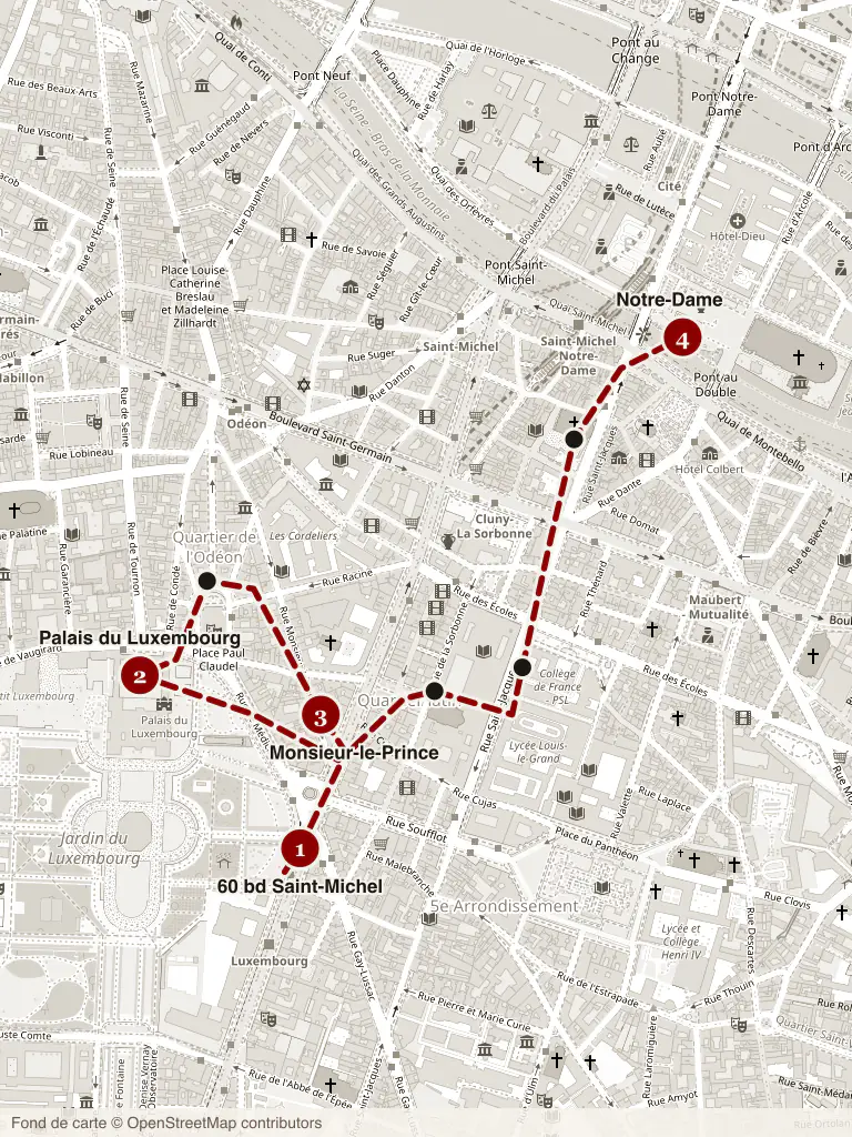
About 2.5 km · 3 hours with stops · start at Denfert-Rochereau (métro 4, 6, RER B), finish at Notre-Dame
This is the densest concentration of wartime ground in Paris, and the most walkable. It is also the route of our Left Bank tour, so I will keep the commentary short here.
1. Musée de la Libération de Paris – Musée du Général Leclerc – Musée Jean Moulin. 4 avenue du Colonel Henri Rol-Tanguy, place Denfert-Rochereau. The permanent collection is free. Underneath the square, twenty metres down, is the civil-defence bunker from which Colonel Rol-Tanguy commanded the FFI during the August 1944 uprising; the descent is ticketed separately and worth booking. Start here — it gives you the chronology before you walk it.
2. The Luxembourg Gardens and the Palais du Luxembourg. Twenty minutes north on foot. The French Senate spent the war as the Luftwaffe’s western headquarters, ringed with bunkers and anti-aircraft positions, and it was one of the last German strongpoints to fall. You cannot go in, but the railings along the rue de Vaugirard are the ones the fighting happened across.
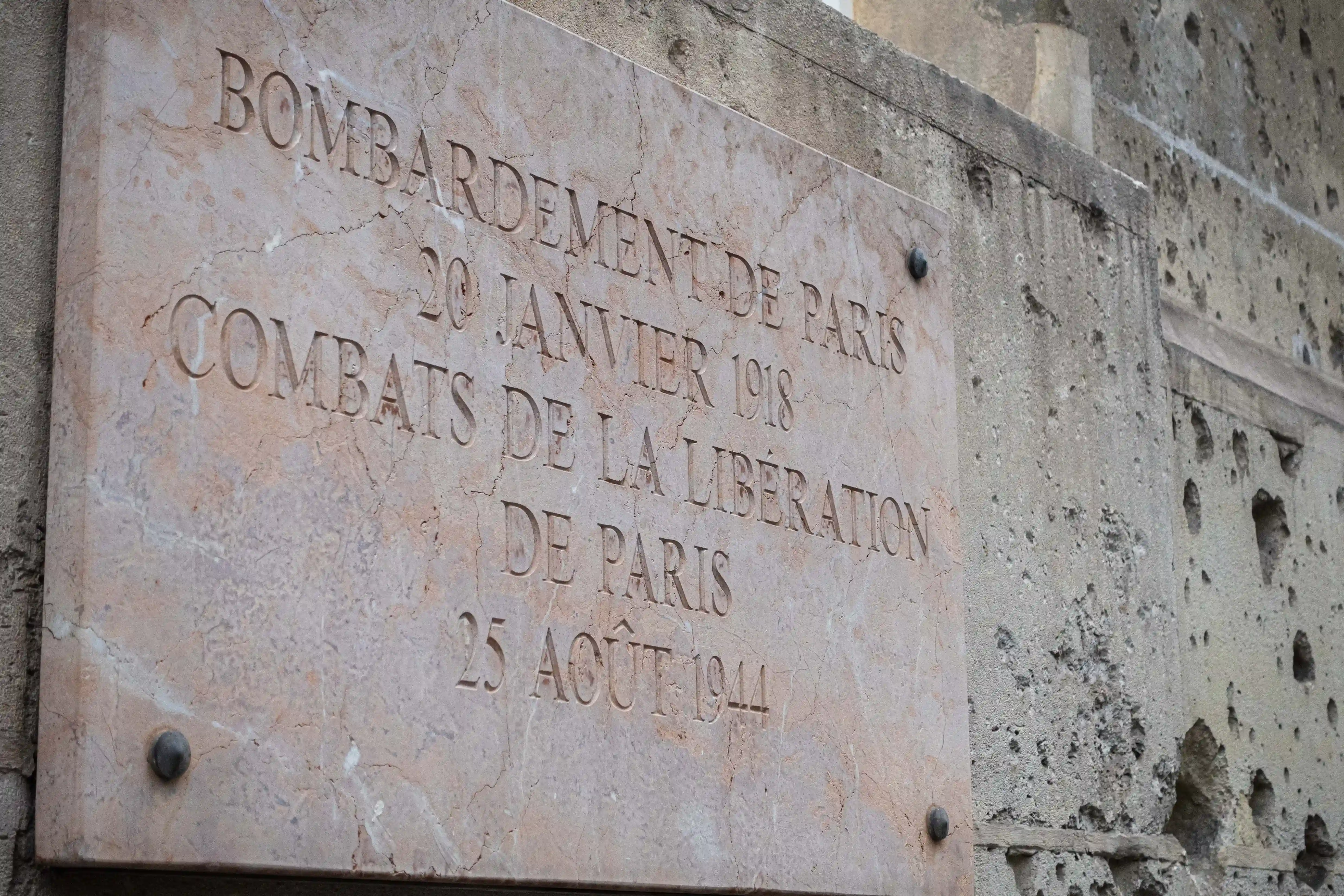
3. École des Mines, 60 boulevard Saint-Michel. The façade facing the gardens is pitted with impacts from two different wars, and a single plaque explains both. This is the clearest, most legible piece of battle damage in central Paris.
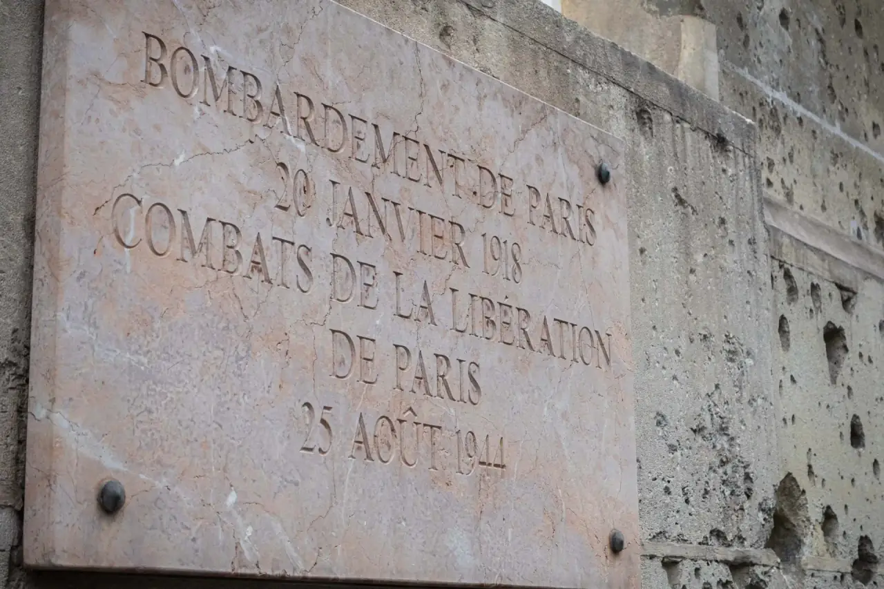
4. The Sorbonne and rue des Écoles. Ten minutes down the boulevard. Student resistance, the requisitioned lecture halls, and a cluster of Ici est tombé plaques along the rue des Écoles and the rue Saint-Jacques.
5. Préfecture de Police, Île de la Cité. The uprising began here on 19 August 1944, when striking Paris policemen seized their own headquarters and raised the tricolour over it. The stonework along the quays still carries the marks.
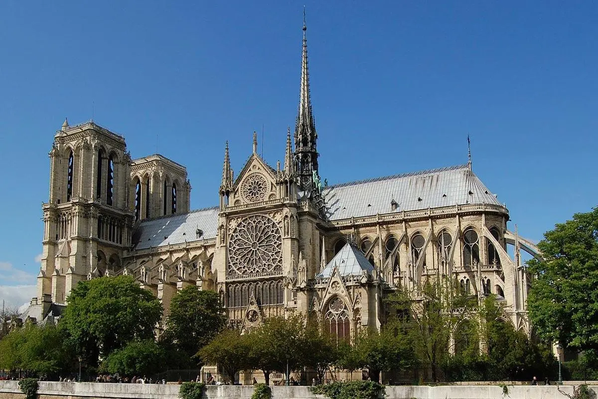
6. Mémorial des Martyrs de la Déportation. Square de l’Île-de-France, at the eastern tip of the island behind Notre-Dame. Free, generally closed Mondays. A sunken crypt lined with 200,000 points of light, one for each person deported from France. Five minutes from the cathedral’s own wartime story, and the right place to end a Left Bank day — it is very quiet and most visitors walk straight past the entrance.
Route 2 — The Right Bank: The Geography of Occupation
About 3 km · 3 hours with stops · start at Trocadéro (métro 6, 9), finish at place Vendôme
If the Left Bank is where Paris resisted, the Right Bank is where Paris was governed. This route is a sequence of addresses rather than monuments — the hotels, palaces and ministries the occupiers took over in June 1940. It follows our Right Bank tour.
1. Musée de l’Homme, place du Trocadéro. Paid entry. The museum where one of the very first resistance networks was formed by its own staff in 1940 — most of whom were arrested, and several shot at Mont-Valérien.
2. Pont Alexandre III and the Quai d’Orsay. Along the river, twenty-five minutes. The foreign ministry burned its archives here in June 1940 as the government fled; the smoke over the Seine is one of the defining images of the collapse.
3. Les Invalides. A detour of ten minutes on the south bank if you want the Musée de l’Armée (paid) — its Second World War galleries are the most complete military account of the war in Paris — and the Musée de l’Ordre de la Libération on the same site, which is smaller, quieter and in many ways more moving.
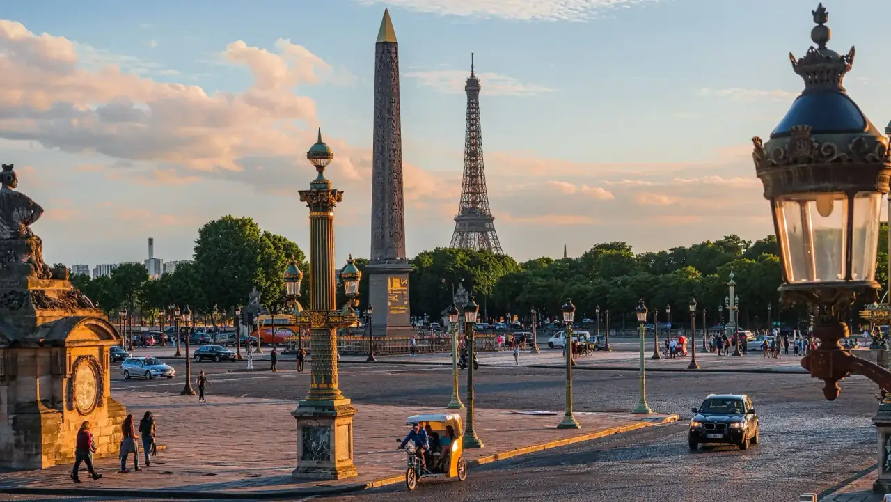
4. Place de la Concorde. The Hôtel de la Marine was the Kriegsmarine headquarters; the Crillon next door housed German officers. On 25 August 1944 the square was a battlefield, and the last garrison surrendered here under fire.
5. Jeu de Paume, Tuileries. The sorting house for art looted from French Jewish collections, and the place where Rose Valland secretly recorded where every crate went for four years. Nothing on the building says so.
6. Hôtel Meurice, 228 rue de Rivoli. Headquarters of the German military governor of Paris, and the building where von Choltitz was arrested on 25 August. Still a hotel. Still unmarked.
7. Place Vendôme and the Ritz. Luftwaffe officers on the square, and in August 1944 Hemingway’s self-declared liberation of the bar.
Route 3 — The Marais and the Memory of the Deportation
About 2 km · 2–3 hours · start at Saint-Paul (métro 1), finish at the Mémorial de la Shoah
This is not on either of our tour routes, and it is the part of wartime Paris most visitors miss entirely. Give it its own half-day.
Mémorial de la Shoah, 17 rue Geoffroy-l’Asnier. Free. Generally closed on Saturdays. The Wall of Names carries the roughly 76,000 Jews deported from France, and the crypt and permanent exhibition below are the single best explanation of the persecution in France that exists anywhere in the city.
The Pletzl, rue des Rosiers and the streets around it. The historic Jewish quarter of Paris. Read the walls: plaques on the rue des Rosiers, the rue des Écouffes and the rue Pavée mark arrests, hiding places and a synagogue bombed in 1941.
School plaques. In front of hundreds of Paris primary schools — several in the 4th arrondissement alone — a plaque records how many Jewish children from that school were deported between 1942 and 1944 and never came back. They were put up from the early 2000s. They are mounted low, at child height, beside the playground gate.
Jardin-mémorial des Enfants du Vél’ d’Hiv, quai de Grenelle (métro Bir-Hakeim, line 6). Across the river, so save it for a separate walk. The velodrome where more than 13,000 people, a third of them children, were held in July 1942 after the largest round-up of the war in France was demolished in 1959. A monument and a small garden mark the site.
Beyond the Centre
Two sites outside Paris proper account for more of the war’s reality than everything inside the Périphérique put together.
Mont-Valérien, Suresnes, west of Paris (métro 1 to La Défense, then bus). More than a thousand hostages and resistance fighters were executed in the fortress clearing between 1941 and 1944. It is the national memorial of Fighting France. Guided visit only, booked in advance, generally closed Mondays. Allow half a day including travel. If you visit one place on this page, visit this one.
Mémorial de la Shoah de Drancy, 110 avenue Jean-Jaurès, Drancy (RER B then bus, about an hour from the centre). Free. The transit camp through which some 63,000 of the 76,000 Jews deported from France passed on their way to Auschwitz. The horseshoe-shaped housing block still stands, still lived in, directly across the road from the memorial. Nothing else in the region is as difficult, or as necessary.
Addresses With Nothing on Them
For anyone who wants the occupation rather than the liberation, these are worth a detour. None has a museum, most have no plaque, and they are scattered — treat them as additions to a route rather than a route of their own.
- 11 rue des Saussaies (8th) — Gestapo headquarters for France, today the Ministry of the Interior. Interrogations took place in the building; graffiti left by prisoners survives inside.
- 84 avenue Foch (16th) — the counter-intelligence service that broke most of the Allied networks in France operated from this address, and held prisoners in the attic rooms.
- 93 rue Lauriston (16th) — the French auxiliaries of the Gestapo, the most brutal of the collaborationist gangs.
- Hôtel Lutetia, 45 boulevard Raspail (6th) — Abwehr headquarters for four years; then, from April 1945, the reception centre where survivors returning from the camps were met by families holding photographs.
- Hôtel Majestic, 19 avenue Kléber (16th) — seat of the German military command in France, now the Peninsula.
What This List Cannot Do
You can walk all of this yourself. Everything above is public, most of it is free, and the addresses are accurate. I would rather you went on your own than not at all.
But a list of coordinates is not the same as understanding what happened at them. The plaques give you names with no lives attached. The hotels give you nothing at all — the Meurice looks exactly like the Crillon, which looks like the Ritz, and standing outside them tells you nothing about the four years inside. The archive photographs that show these same streets in 1940 are not on the walls; you have to bring them.
That is what the tours are for. The Left Bank WWII walking tour and the Right Bank WWII walking tour follow Routes 1 and 2 above with the photographs, the names, and the hour-by-hour account of how the city fell and how it freed itself — the material that does not fit in a paragraph. For a fuller sense of how to read the physical evidence itself, see our guide to the bullet holes, plaques and bunkers of Paris, and for the chronology, the complete timeline of the occupation.
And if no date works for your trip, the Left Bank route exists as a self-guided audio tour: my voice, the route on a map, and the archive photographs appearing at the right moment of the narration, all of it working offline once loaded.
Paris keeps its war well hidden — Book a WWII tour in Paris.
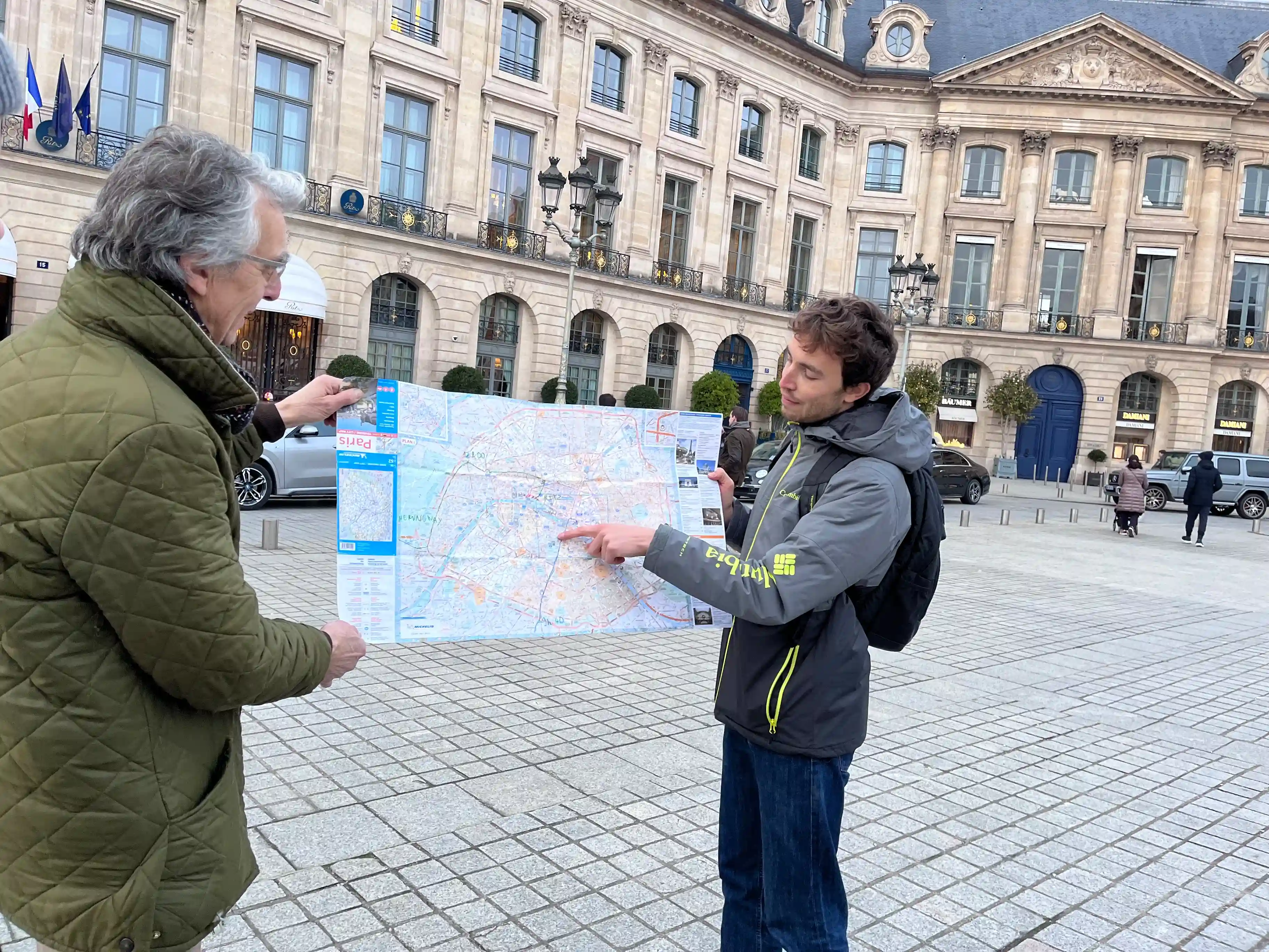
Photo: reading a wartime map of Paris on the place Vendôme. Personal photograph, Paris History Tours.